THE PROJECT
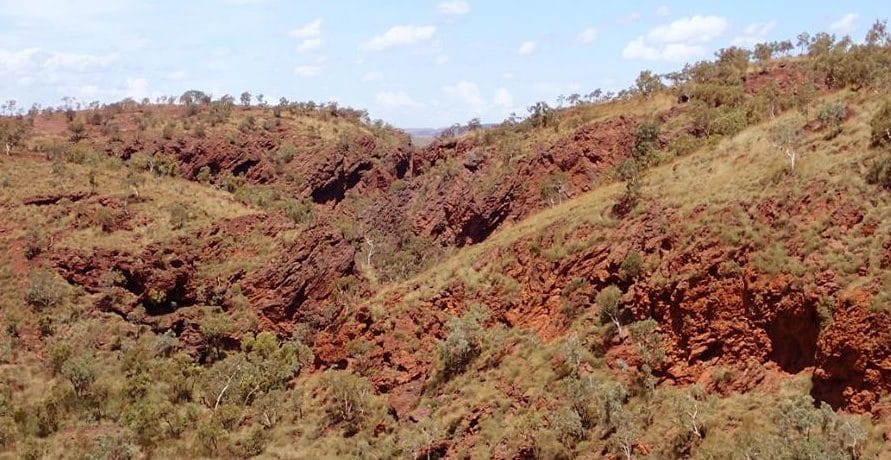
The Packsaddle iron ore deposit is situated along a ridge-line north of Mining Area C, located 100 km northwest of the town of Newman. The total strike length of the deposit is about 25 km. The deposit runs along the northern limb of the Weeli Wolli Anticline and is bounded to the north by the regional scale Neales Fault and to the south by a detrital valley. Archean bedrock sequences have been parasitically folded and deposit scale faulting is recognised.
PSM was engaged to update the geological model for the Archean bedrock to incorporate structures (faults and folds) of geotechnical significance that may impact geotechnical slope design.
ENGINEERING AND TECHNICAL OPPORTUNITIES
The deposit was located in terrain with difficult access for mapping. Small and medium scale faults identified by the mapping often had displacements much smaller than the drill-hole spacing of 50 m.
Engineering and technical opportunities included:
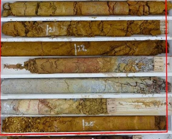
- Sparse cored data to characterise the thickness and internal fabric of faults
- Complex small-to-medium scale faulting resulting in either repetition or loss of strata depending on fault type
- Majority of drill-holes drilled within the ore-body zone, with fewer available for characterisation of the final wall area
- Small-and-medium scale faults identified by the mapping often had displacements much smaller than the drill-hole spacing of 50 m
- Televiewer data indicated the presence of faults which could not be correlated between boreholes due to borehole spacing not commensurate with the fault length and/or displacement.
APPROACH AND INNOVATION
Following rigorous assessment and modelling, PSM’s tailored approach included:
- Interpretation of 70 section lines covering 30 cored and 1,500 non-cored boreholes and associated down-hole geophysical and geochemical data
- Sectional interpretation with sections oriented perpendicular to the fold axis, enabling the deposit scale parasitic folding of the limb to be characterised
- Provision of detailed knowledge of shale marker bands within the stratigraphic sequences and ability to identify these from geophysics
- Use of optical televiewer to interpret structural orientations including scale of parasitic folding, fault orientation and thickness, joint propensity
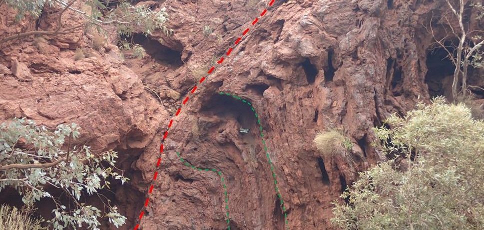
- Completion of a surface mapping expedition to ground-truth interpreted structures from the drill-hole assessment
- Development of 3D wireframe model.
OUTCOMES
PSM contributed to BHP Billiton Iron Ore’s knowledge of Cenozoic detritals which are forming portions of final walls with increasing frequency across their deposits. PSM developed a model that accurately characterised the unit origins and distribution which led to accurate excavation of the cutback.
Services: #detrital #Geotechnical #ironore #structural #thepilbara #weeliwooli


