THE PROJECT
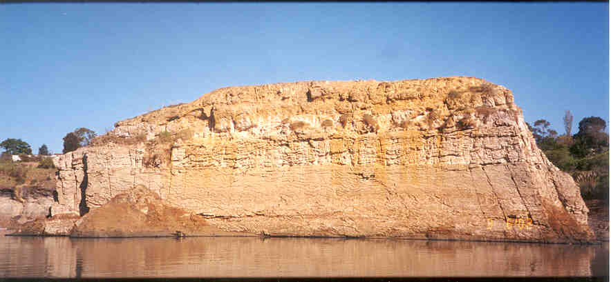
The disused Enfield brick pit was earmarked to be back-filled and redeveloped. Cutting the site was a dolerite dyke, preserved as a three-dimensional structure. Before developing the site, property owners were required by the local council to record the site’s geological heritage.
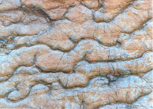
PSM was engaged to prepare a detailed map, photograph the dyke while the brick pit was emptied of waste water, and log the internal character of the dyke.
ENGINEERING AND TECHNICAL OPPORTUNITIES
The scale of the dyke, which was 10 to 15 m high, presented particular mapping and sample collection opportunities.
APPROACH AND INNOVATION
Following rigorous assessment, PSM’s tailored approach included:
- Drilling of a diamond cored drill hole for geotechnical logging of the dyke’s internal character and for laboratory testing, including strength and petrography
- Preparation of maps via row boats while water was drained from the brick pit site to ensure all parts of the dyke could be reached and allowing all defects to be recorded.
OUTCOMES
PSM successfully completed field recording of the geological structures and material properties over a series of site visits. The data was documented (PSM376.R8, 2002) with hard bound copies provided to the Geological Survey of NSW, the University of NSW, Sydney University, Macquarie University and the NSW State Library as prescribed by the development application.
Services: #Dyke #Geological


